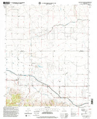
1995 Map of Neenach School
USGS Topo · Published 1999About this map
La Liebre dominates the southwestern corner of this mid-1990s survey, where the arid high desert landscape is defined by massive water infrastructure and a grid of rural avenues. The Los Angeles Aqueduct and California Aqueduct cross the terrain, supporting local agriculture and the needs of a growing Southern California. The intersection of Lancaster Road and the county line marks the site of the Neenach School, a focal point for the surrounding ranches and scattered homesteads like Gorrindo Ranch and Snyder Ranch.
Find a feature on this map
46 named features on this map. Tap any name to fly to it.
Don’t see what you’re looking for? This feature index may not catch every label — zoom into the map to look around manually.
Map Details
Editions of this 1995 Neenach School Map
This is the sole edition of this map. No revisions or reprints were ever made.
Other maps of this area

1903 · Tejon
USGS Topo · 1:125,000

1915 · Elizabeth Lake
USGS Topo · 1:125,000

1917 · Elizabeth Lake
USGS Topo · 1:125,000

1932 · Fairmont
USGS Topo · 1:24,000

1932 · Neenach
USGS Topo · 1:24,000

1933 · Manzana
USGS Topo · 1:24,000
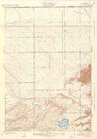
1937 · Fairmont
USGS Topo · 1:24,000
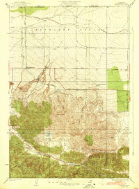
1938 · Manzana
USGS Topo · 1:24,000

1938 · Liebre
USGS Topo · 1:24,000

1943 · Neenach
USGS Topo · 1:62,500