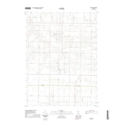
2021 Map of Nekoma
USGS Topo · Published 2021About this map
The settlement of Nekoma serves as the focal point of this agricultural landscape along the boundary between Henry Co and Knox Co. The terrain is defined by a dense network of watercourses, most notably the S Edwards River which meanders through the central section, flanked by smaller tributaries such as Dugout Cr and Hillery Cr. The rectangular survey system is clearly visible in the rigid grid of rural routes like S Edwards Rd and Bonham Rd, which cut across the natural drainage patterns of Pope Cr and Walnut Cr. For those researching local history, the map identifies specific landmarks including Red Oak Cem and Platt Cem, alongside smaller water bodies like Nystrom Lake and Thompson Pond, providing a detailed view of the rural township structure in this part of Illinois.
Find a feature on this map
52 named features on this map. Tap any name to fly to it.
Don’t see what you’re looking for? This feature index may not catch every label — zoom into the map to look around manually.
Map Details
Editions of this 2021 Nekoma Map
This is the sole edition of this map. No revisions or reprints were ever made.
Other maps of this area

1931 · Galva
USGS Topo · 1:48,000

1934 · Geneseo
USGS Topo · 1:62,500

1937 · Orion
USGS Topo · 1:62,500

1940 · Galva
USGS Topo · 1:62,500

1944 · Galva
USGS Topo · 1:62,500

1947 · Woodhull
USGS Topo · 1:62,500

1953 · Nekoma
USGS Topo · 1:24,000

1953 · Woodhull
USGS Topo · 1:24,000

1953 · German Corner
USGS Topo · 1:24,000
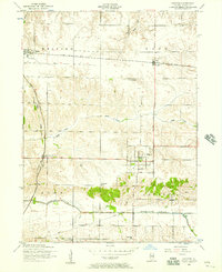
1953 · Andover
USGS Topo · 1:24,000