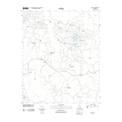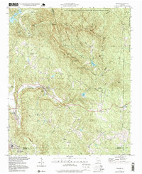
1997 Map of Nelson
USGS Topo · Published 1999About this map
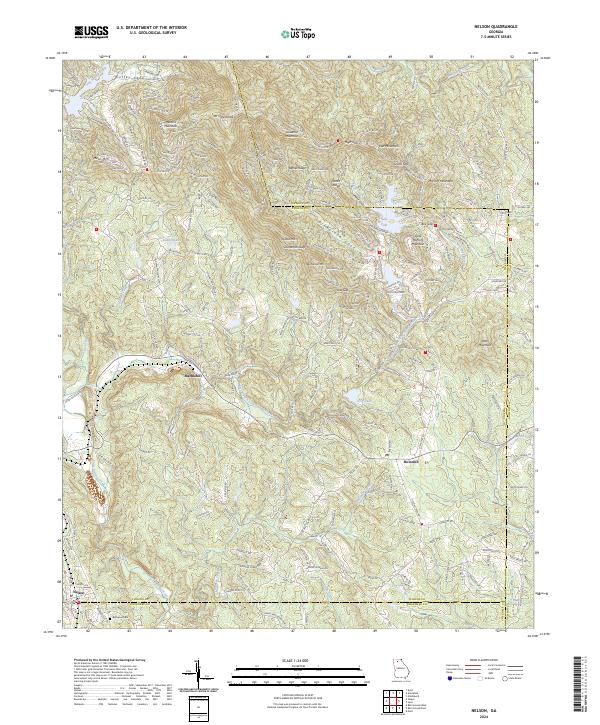
Nelson and Marblehill anchor the southern reaches of this landscape, where the foothills of the Blue Ridge meet the industrial and agricultural heritage of North Georgia. The area is defined by the steep ridges of Sanderlin Mtn and Hendrix Mtn, falling away toward Long Swamp Creek and Amicalola Creek. The map documents a rural society structured around faith and industry, evidenced by the numerous country churches such as Long Swamp Ch and Pleasant Union Ch, alongside several prominent Quarry sites near the Tate Highway. Much of the northeast is preserved within the Dawson Forest State Wildlife Management Area, showing the transition from mountain wilderness to settled valley. High points like the Tate Lookout Tower provided oversight for these timberlands and settlements during the late twentieth century.
Find a feature on this map
53 named features on this map. Tap any name to fly to it.
Don’t see what you’re looking for? This feature index may not catch every label — zoom into the map to look around manually.
Map Details
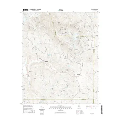
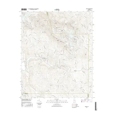
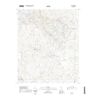
Editions of this 1997 Nelson Map
This is the sole edition of this map. No revisions or reprints were ever made.
Historical Maps of Nelson Through Time
7 maps found