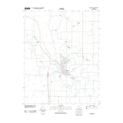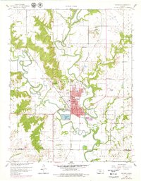
1959 Map of Neodesha
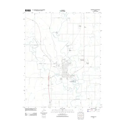
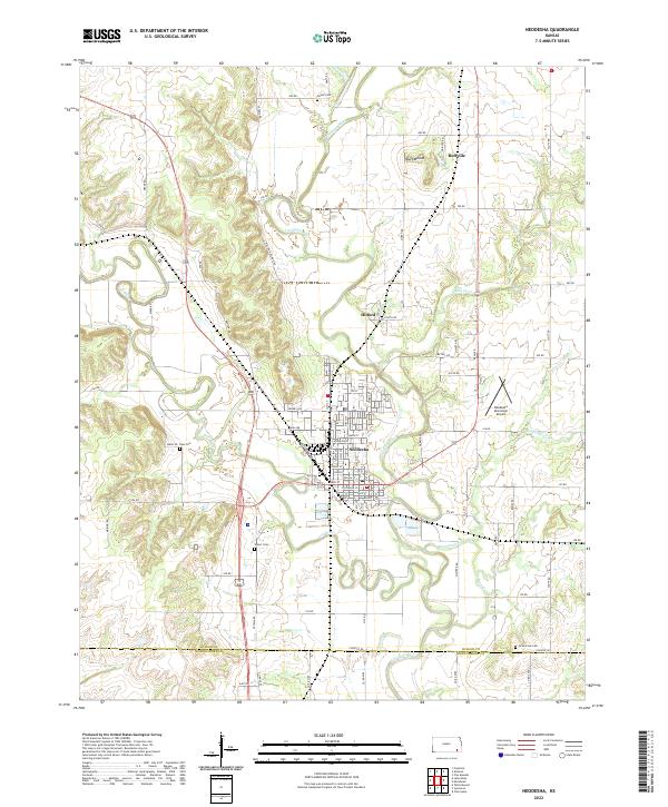
USGS Topo · Published 1979About this map
Neodesha sits at the confluence of the Fall River and the Verdigris River, serving as a critical junction for the Missouri Pacific and St Louis San Francisco railroads. This mid-century survey captures the community as a significant energy hub, dominated by the Neodesha Oil Field and the large Settling Basins on the town's southern edge. The landscape is punctuated by distinctive terrain features like Little Bear Mound and Buff Mound, while the surrounding prairie is marked by small settlements such as Buffville and several family cemeteries including Ross Cem and Varner Cem.
Find a feature on this map
46 named features on this map. Tap any name to fly to it.
Don’t see what you’re looking for? This feature index may not catch every label — zoom into the map to look around manually.
Map Details
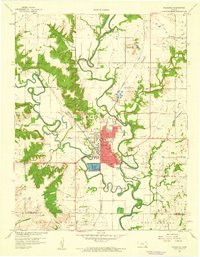
Editions of this 1959 Neodesha Map
2 editions found
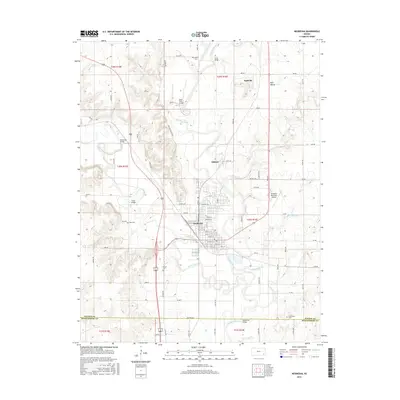
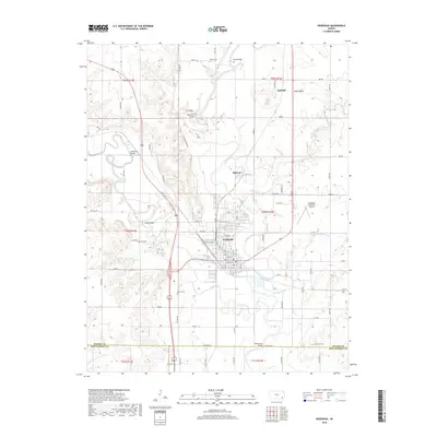
Historical Maps of Neodesha Through Time
6 maps found