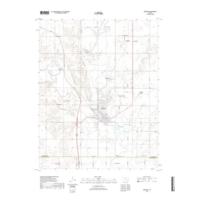
2018 Map of Neodesha
USGS Topo · Published 2018About this map
Neodesha sits at the significant confluence where the Fall River meets the Verdigris River, a geographic centerpiece that has long defined the development of southeastern Kansas. This 2018 survey detail shows the established grid of the city, featuring streets from Main St to Tank Ave, alongside the Neodesha Municipal Airport. The surrounding Wilson County landscape is marked by small settlements and family-named landmarks that speak to the region's agricultural and industrial roots, including the community of Buffville to the north and the distinct elevation of Buff Mound.
Find a feature on this map
57 named features on this map. Tap any name to fly to it.
Don’t see what you’re looking for? This feature index may not catch every label — zoom into the map to look around manually.
Map Details
Editions of this 2018 Neodesha Map
This is the sole edition of this map. No revisions or reprints were ever made.
Other maps of this area

1886 · Fredonia
USGS Topo · 1:125,000

1886 · Independence
USGS Topo · 1:125,000

1894 · Fredonia
USGS Topo · 1:125,000

1894 · Independence
USGS Topo · 1:125,000

1905 · Independence
USGS Topo · 1:125,000

1938 · Fredonia
USGS Topo · 1:62,500

1938 · Altoona
USGS Topo · 1:62,500

1939 · Altoona
USGS Topo · 1:48,000

1939 · Fredonia
USGS Topo · 1:48,000

1942 · Fredonia
USGS Topo · 1:62,500