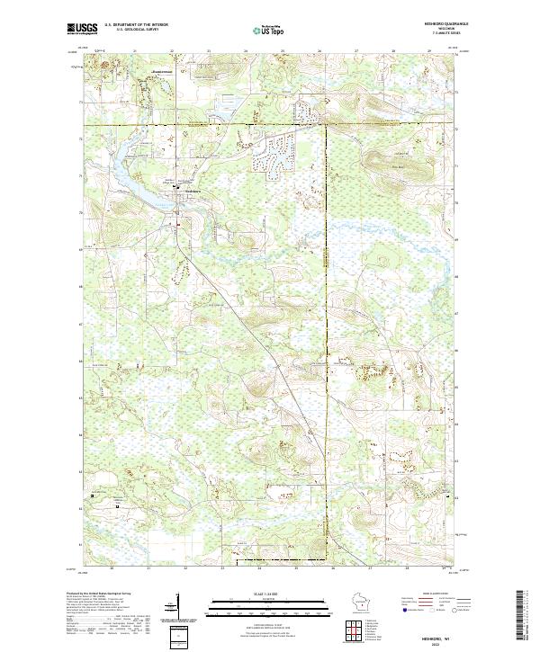
2022 Map of Neshkoro
USGS Topo · Published 2022About this map
The White River and its impoundment at the Neshkoro Mill Pond anchor this portion of central Wisconsin, where the borders of Marquette, Waushara, and Green Lake counties converge. This landscape is defined by its water systems and early 21st-century rural residential patterns, including the clustered streets of Neshkoro and the outlying settlement of Bannerman. The drainage of Lunch Cr and the meandering path of the Mecan River characterize the southern reaches of the area, providing a clear look at the glacial geography that shapes the region's agricultural and wetland boundaries.
Find a feature on this map
77 named features on this map. Tap any name to fly to it.
Don’t see what you’re looking for? This feature index may not catch every label — zoom into the map to look around manually.
Map Details
Editions of this 2022 Neshkoro Map
This is the sole edition of this map. No revisions or reprints were ever made.
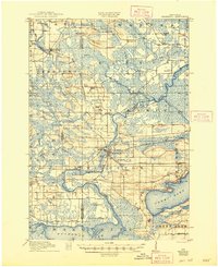
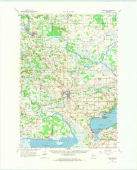
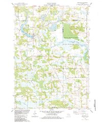
Historical Maps of Neshkoro Through Time
5 maps found