2023 Map of Nesquehoning
USGS Topo · Published 2023About this map
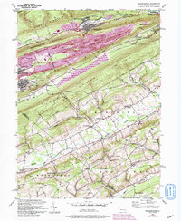
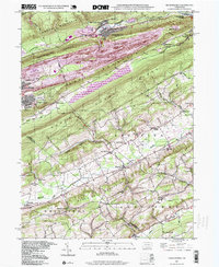
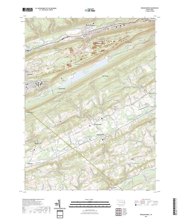
Nesquehoning and Lansford anchor this survey of the Carbon and Schuylkill county border, where the steep topography of Nesquehoning Mountain and Pisgah Mountain dictates the layout of the coal region's narrow valleys. The landscape is defined by its deep cultural roots, evidenced by the high density of religious and memorial sites such as Saint John's Slovak Lutheran Cem, Mary's Byzantine Catholic Church Cem, and Old Saint Michael's Catholic Cem. These labels reflect the diverse ethnic heritage of the immigrant workforce that built the surrounding mining and industrial centers.
Find a feature on this map
153 named features on this map. Tap any name to fly to it.
Don’t see what you’re looking for? This feature index may not catch every label — zoom into the map to look around manually.
Map Details
Editions of this 2023 Nesquehoning Map
This is the sole edition of this map. No revisions or reprints were ever made.
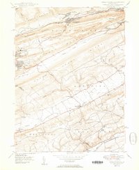
Historical Maps of Andrewsville Through Time
5 maps found