
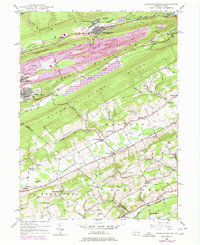
1948 Map of Nesquehoning
USGS Topo · Published 1994About this map
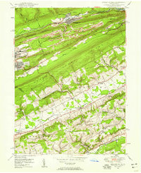
Coal-region industry and mountainous topography define this 1948 survey of Carbon and Schuylkill counties. The landscape is dominated by heavy infrastructure, including a massive Settling Basin and Strip Mine operations that flank the ridge lines. The borough of Nesquehoning sits nestled between Nesquehoning Mountain and Broad Mountain, while the southern reaches transition into the rural Mahoning Valley. Significant local history is preserved in the detailed mapping of religious and social landmarks like St Michaels Home and Our Lady of Mt Carmel Cem. The transition from industrial rail centers at Nesquehoning Junction to the agricultural crossroads of Normal Square and Andreas illustrates the dual nature of the Pennsylvania interior during the post-war era. Geographic continuity is maintained across Mauch Chunk Ridge to the waters of Mauch Chunk Lake.
Find a feature on this map
60 named features on this map. Tap any name to fly to it.
Don’t see what you’re looking for? This feature index may not catch every label — zoom into the map to look around manually.
Map Details
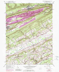
Editions of this 1948 Nesquehoning Map
7 editions found
Other maps of this area

1889 · Hazleton
USGS Topo · 1:62,500

1891 · Hazleton
USGS Topo · 1:62,500

1893 · Hazleton
USGS Topo · 1:62,500

1902 · Slatington
USGS Topo · 1:62,500

1909 · Hamburg
USGS Topo · 1:62,500

1911 · Hamburg
USGS Topo · 1:62,500

1922 · Mauch Chunk
USGS Topo · 1:62,500

1924 · Mauch Chunk
USGS Topo · 1:62,500

1937 · Allentown West
USGS Topo · 1:48,000

1942 · Allentown West
USGS Topo · 1:62,500