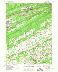
1948 Map of Nesquehoning
USGS Topo · Published 1968About this map
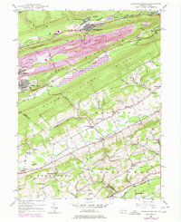
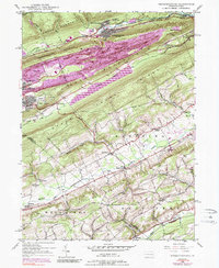
The industrial corridor of the Carbon and Schuylkill county line is defined by the tight geography of Nesquehoning Mountain and Pisgah Ridge. In this 1940s landscape, the heavy infrastructure of coal and rail dominates the north, with the Central Railroad of Pennsylvania and Lehigh Valley lines converging at Nesquehoning Junction near the Lehigh River. The map captures the dense urban footprints of Lansford and Summit Hill, where the Summit Hill Borough Line skirts massive mining features like the Settling Basin. In contrast, the southern portion of the sheet across Mahoning Mountain reveals a rural agricultural pattern. In the Strauss Valley and along Mahoning Creek, small schoolhouses such as St Peters Sch and Oak Grove Sch served dispersed farmstead communities like Mantzville and Normal Square.
Find a feature on this map
58 named features on this map. Tap any name to fly to it.
Don’t see what you’re looking for? This feature index may not catch every label — zoom into the map to look around manually.
Map Details
Editions of this 1948 Nesquehoning Map
7 editions found

Other maps of this area

1889 · Hazleton
USGS Topo · 1:62,500

1891 · Hazleton
USGS Topo · 1:62,500

1893 · Hazleton
USGS Topo · 1:62,500

1902 · Slatington
USGS Topo · 1:62,500

1909 · Hamburg
USGS Topo · 1:62,500

1911 · Hamburg
USGS Topo · 1:62,500

1922 · Mauch Chunk
USGS Topo · 1:62,500

1924 · Mauch Chunk
USGS Topo · 1:62,500

1937 · Allentown West
USGS Topo · 1:48,000

1942 · Allentown West
USGS Topo · 1:62,500