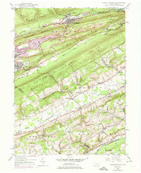
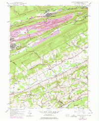
1948 Map of Nesquehoning
USGS Topo · Published 1974About this map
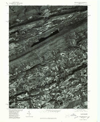
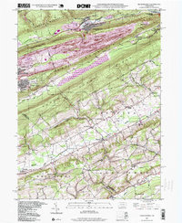
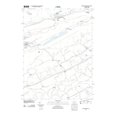
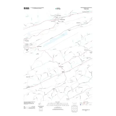
Nesquehoning and the surrounding Panther Valley anthracite region are defined by the steep ridges of Broad Mountain and Mauch Chunk Mountain. This mid-century survey captures the industrial and community life of Carbon County, where the Central Railroad of New Jersey follows the tight corridor of Nesquehoning Creek. In the south, the landscape shifts toward the agriculture of East Penn and the Strauss Valley, dotted with small hamlets like Mantzville and Normal Square.
Find a feature on this map
50 named features on this map. Tap any name to fly to it.
Don’t see what you’re looking for? This feature index may not catch every label — zoom into the map to look around manually.
Map Details
Editions of this 1948 Nesquehoning Map
7 editions found
Historical Maps of Tamaqua Through Time
9 maps found
1948 Nesquehoning
Carbon County, PA
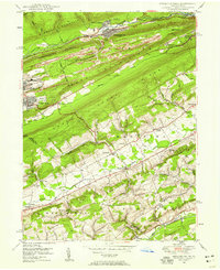
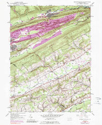
1950 Nesquehoning
Carbon County, PA
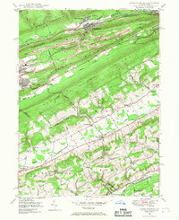
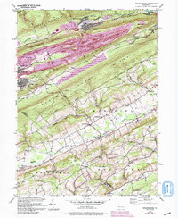
1976 Nesquehoning
Carbon County, PA
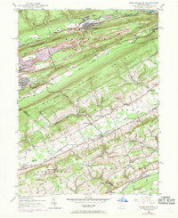
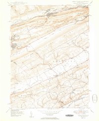
1997 Nesquehoning
Carbon County, PA
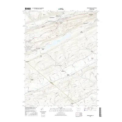
2010 Nesquehoning
Carbon County, PA
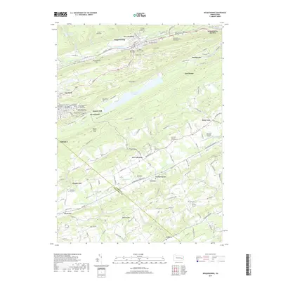
2013 Nesquehoning
Carbon County, PA
2016 Nesquehoning
Carbon County, PA
2019 Nesquehoning
Carbon County, PA
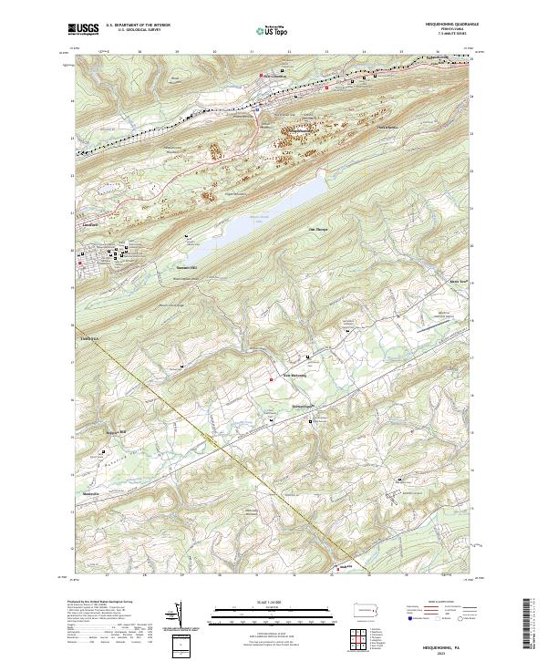
2023 Nesquehoning
Carbon County, PA