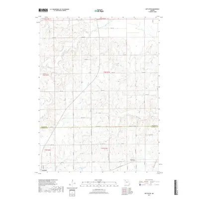
2017 Map of Nettleton
USGS Topo · Published 2017About this map
The boundary between Daviess and Caldwell counties defines the central landscape of this Missouri quadrangle, where agricultural fields meet a network of wandering tributaries. The town of Hamilton occupies the southwestern corner, while the small settlement of Nettleton sits further east along Co Rte 96. These communities are connected by a grid of rural routes and named avenues, including NE Old Highway 36, which runs parallel to the modern thoroughfares.
Find a feature on this map
39 named features on this map. Tap any name to fly to it.
Don’t see what you’re looking for? This feature index may not catch every label — zoom into the map to look around manually.
Map Details
Editions of this 2017 Nettleton Map
This is the sole edition of this map. No revisions or reprints were ever made.
Other maps of this area

1922 · Gallatin
USGS Topo · 1:62,500

1924 · Polo
USGS Topo · 1:62,500

1924 · Braymer
USGS Topo · 1:62,500

1924 · Winston
USGS Topo · 1:62,500

1950 · Kansas City
USGS Topo · 1:250,000

1953 · Moberly
USGS Topo · 1:250,000

1954 · Kansas City
USGS Topo · 1:250,000

1954 · Moberly
USGS Topo · 1:250,000

1956 · Kansas City
USGS Topo · 1:250,000

1957 · Moberly
USGS Topo · 1:250,000