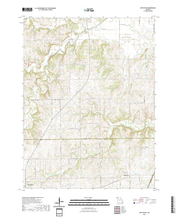
2021 Map of Nettleton
USGS Topo · Published 2021About this map
Nettleton and Hamilton anchor this rural landscape along the border of Daviess and Caldwell counties. The terrain is defined by a dense network of drainage, where Marrowbone Creek and Honey Creek carve through the northern agricultural lands while the Lick Fork winds across the southern reaches. This modern survey reflects a deeply established grid of section lines and rural roads, such as State Rd M and State Rd HH, which facilitate access to remote farmsteads and water features like Johnson Lake and Penny Lake. The map reveals the intricate watershed of the Missouri plains, showing how smaller tributaries like Bear Br and Haw Br feed into larger creek systems. For researchers, the document provides a precise inventory of contemporary infrastructure, including the alignment of NE J C Penney Dr and NE State Hwy FF, illustrating the intersection of modern transit and traditional land divisions.
Find a feature on this map
54 named features on this map. Tap any name to fly to it.
Don’t see what you’re looking for? This feature index may not catch every label — zoom into the map to look around manually.
Map Details
Editions of this 2021 Nettleton Map
This is the sole edition of this map. No revisions or reprints were ever made.
Other maps of this area

1922 · Gallatin
USGS Topo · 1:62,500

1924 · Polo
USGS Topo · 1:62,500

1924 · Braymer
USGS Topo · 1:62,500

1924 · Winston
USGS Topo · 1:62,500

1950 · Kansas City
USGS Topo · 1:250,000

1953 · Moberly
USGS Topo · 1:250,000

1954 · Kansas City
USGS Topo · 1:250,000

1954 · Moberly
USGS Topo · 1:250,000

1956 · Kansas City
USGS Topo · 1:250,000

1957 · Moberly
USGS Topo · 1:250,000