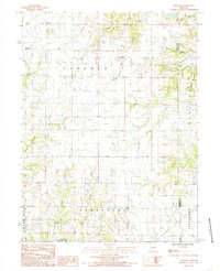
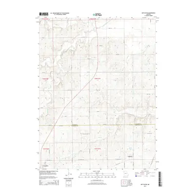
1984 Map of Nettleton
USGS Topo · Published 1984About this map
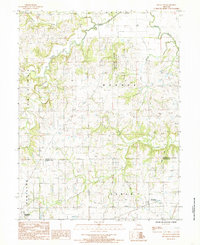
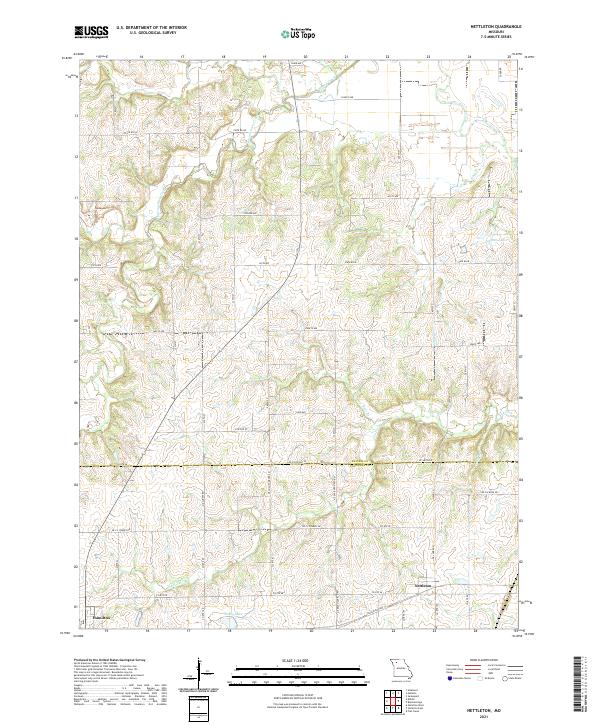
The boundary between Daviess Co Caldwell Co defines the lower third of this mid-1980s landscape, where the rural settlement of Nettleton sits at the intersection of local roads and rail lines. To the south, the city limits of Hamilton extend into the corner of the map, marking the most developed area on the sheet. The terrain is characterized by a dense network of watercourses, including the westward flow of Honey Creek and Marrowbone Creek.
Find a feature on this map
17 named features on this map. Tap any name to fly to it.
Don’t see what you’re looking for? This feature index may not catch every label — zoom into the map to look around manually.
Map Details
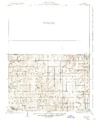
Editions of this 1984 Nettleton Map
This is the sole edition of this map. No revisions or reprints were ever made.
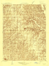
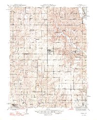
Historical Maps of Hamilton Through Time
13 maps found
1925 Gilman
Daviess County, MO
1946 Gilman
Daviess County, MO
1948 Gilman
Daviess County, MO
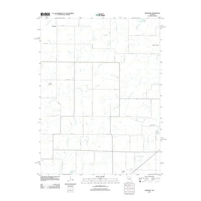
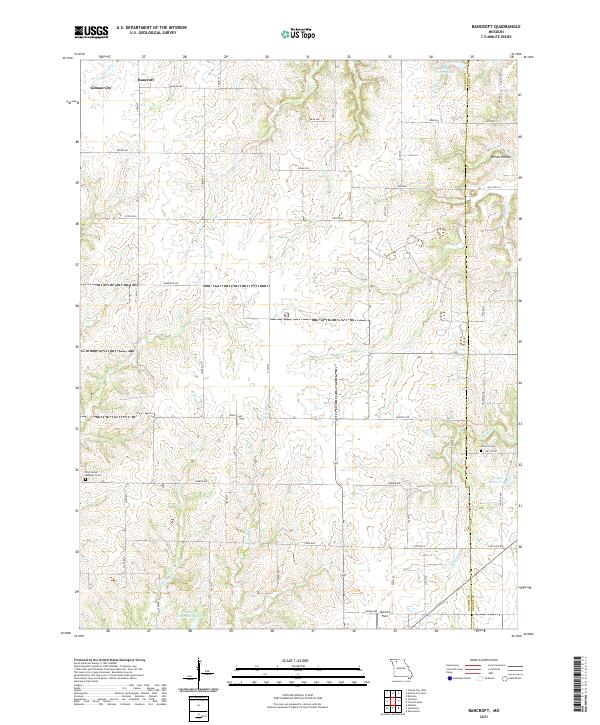
1984 Bancroft
Daviess County, MO
1984 Nettleton
Daviess County, MO
2012 Bancroft
Daviess County, MO
2012 Nettleton
Daviess County, MO
2015 Bancroft
Daviess County, MO
2015 Nettleton
Daviess County, MO
2017 Bancroft
Daviess County, MO
2017 Nettleton
Daviess County, MO
2021 Bancroft
Daviess County, MO
2021 Nettleton
Daviess County, MO