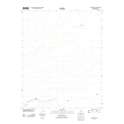
2012 Map of Nevares Peak
USGS Topo · Published 2012About this map
Park Village serves as a primary point of reference in this arid landscape located within the boundaries of Death Valley National Park. The terrain is defined by dramatic elevation changes, rising from the desert floor to summits like Nevares Peak and Winters Peak. A network of specialized thoroughfares, including the evocative Old Ghost Rd, Skyline Dr, and Cow Creek Rd, suggests the area's history of desert traversal and resource management. Water is a scarce but vital element here, represented by the ephemeral Cow Cr and the localized Nevares Springs. The map also captures Indian Pass, a notable gap in the high ground that has long influenced movement through this section of the Amargosa Range. The placement of infrastructure relative to these natural features illustrates the challenges of habitation and exploration in one of the hottest environments in North America.
Find a feature on this map
11 named features on this map. Tap any name to fly to it.
Don’t see what you’re looking for? This feature index may not catch every label — zoom into the map to look around manually.
Map Details
Editions of this 2012 Nevares Peak Map
This is the sole edition of this map. No revisions or reprints were ever made.
Other maps of this area

1908 · Furnace Creek
USGS Topo · 1:250,000

1910 · Furnace Creek
USGS Topo · 1:250,000

1942 · Bullfrog
USGS Topo · 1:125,000

1948 · Death Valley
USGS Topo · 1:250,000

1952 · Chloride Cliff
USGS Topo · 1:50,000

1952 · Furnace Creek
USGS Topo · 1:62,500

1952 · Ryan
USGS Topo · 1:62,500

1952 · Big Dune
USGS Topo · 1:62,500

1954 · Death Valley
USGS Topo · 1:250,000

1956 · Death Valley
USGS Topo · 1:250,000