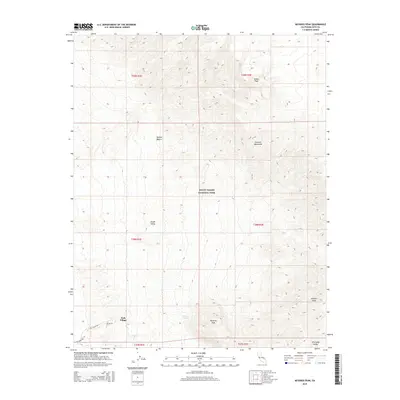
2015 Map of Nevares Peak
USGS Topo · Published 2015About this map
Nevares Peak rises as a prominent landmark within the Death Valley National Park landscape, anchoring the eastern reach of Death Valley itself. This 2015 survey illustrates the extreme relief of the Funeral Mountains and the Amargosa Range, where the elevation climbs sharply from the valley floor toward Winters Peak. The small settlement at Park Village serves as a human waypoint near the base of these heights, connected to the surrounding desert by Cow Creek Rd and the evocative Old Ghost Rd.
Find a feature on this map
20 named features on this map. Tap any name to fly to it.
Don’t see what you’re looking for? This feature index may not catch every label — zoom into the map to look around manually.
Map Details
Editions of this 2015 Nevares Peak Map
This is the sole edition of this map. No revisions or reprints were ever made.
Other maps of this area

1908 · Furnace Creek
USGS Topo · 1:250,000

1910 · Furnace Creek
USGS Topo · 1:250,000

1942 · Bullfrog
USGS Topo · 1:125,000

1948 · Death Valley
USGS Topo · 1:250,000

1952 · Chloride Cliff
USGS Topo · 1:50,000

1952 · Furnace Creek
USGS Topo · 1:62,500

1952 · Ryan
USGS Topo · 1:62,500

1952 · Big Dune
USGS Topo · 1:62,500

1954 · Death Valley
USGS Topo · 1:250,000

1956 · Death Valley
USGS Topo · 1:250,000