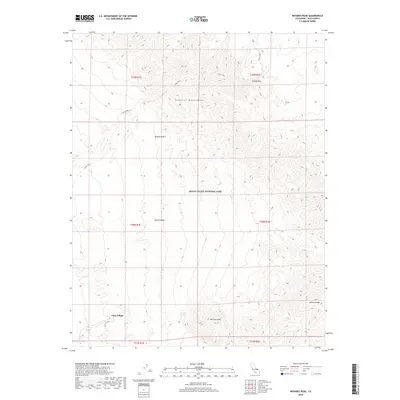
2018 Map of Nevares Peak
USGS Topo · Published 2018About this map
Park Village sits at the base of a dramatic topographical transition where the floor of Death Valley meets the rising elevations of the Funeral Mountains. This 2018 survey detail shows a landscape defined by extreme relief, featuring the prominent summits of Nevares Peak and Winters Peak overlooking the arid expanse of the Mojave Desert. Water remains a critical element of this environment, with Nevares Springs and Cow Cr appearing as rare hydrological features within the protected boundaries of Death Valley National Park. The map also traces the route of Indian Pass, a traditional corridor through the high country that connects different sectors of this harsh but significant desert terrain.
Find a feature on this map
16 named features on this map. Tap any name to fly to it.
Don’t see what you’re looking for? This feature index may not catch every label — zoom into the map to look around manually.
Map Details
Editions of this 2018 Nevares Peak Map
This is the sole edition of this map. No revisions or reprints were ever made.
Other maps of this area

1908 · Furnace Creek
USGS Topo · 1:250,000

1910 · Furnace Creek
USGS Topo · 1:250,000

1942 · Bullfrog
USGS Topo · 1:125,000

1948 · Death Valley
USGS Topo · 1:250,000

1952 · Chloride Cliff
USGS Topo · 1:50,000

1952 · Furnace Creek
USGS Topo · 1:62,500

1952 · Ryan
USGS Topo · 1:62,500

1952 · Big Dune
USGS Topo · 1:62,500

1954 · Death Valley
USGS Topo · 1:250,000

1956 · Death Valley
USGS Topo · 1:250,000