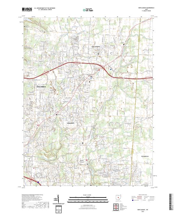
2023 Map of New Albany
USGS Topo · Published 2023About this map
New Albany and the eastern fringes of Columbus anchor this survey of the contemporary landscape in central Ohio. The terrain is defined by a dendritic network of waterways including Rocky Fork Creek, Blacklick Creek, and Big Walnut Creek, alongside man-made improvements like the Bevelheimer Ditch. This era shows a high-density suburban road network overprinting the traditional township and range grid, though the historic agrarian roots of Franklin County remain visible through numerous family and community burial grounds. Genealogists will find a wealth of local history at sites like Maplewood Cem, Saint Pauls Lutheran Cem, and the Headley Cem. The map also captures smaller communities like Havens Corners and the edges of Gahanna and Pataskala as they sit today, illustrating the modern expansion of the Columbus metropolitan area against the historic drainage patterns of Rose Run and Sugar Run.
Find a feature on this map
48 named features on this map. Tap any name to fly to it.
Don’t see what you’re looking for? This feature index may not catch every label — zoom into the map to look around manually.
Map Details
Editions of this 2023 New Albany Map
This is the sole edition of this map. No revisions or reprints were ever made.
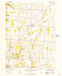
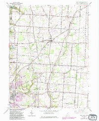
Historical Maps of Jefferson Township Through Time
3 maps found