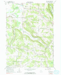
1963 Map of New Albion
USGS Topo · Published 1990About this map
New Albion and East Leon sit amidst a deeply dissected landscape defined by winding hollows and narrow ridge tops in the mid-1960s. The settlement pattern follows the valley floors, with small crossroads like Kendall Corners and Snyders Corners providing local points of contact for the surrounding farmsteads. To the northwest, Conewango Swamp marks a significant break in the terrain, while the northeastern corner is traversed by the Erie-Lackawanna railroad, which follows the path of the South Branch Cattaraugus Creek. This survey records numerous family-named landmarks and rural burial grounds, including the Lower New Albion Cem and Tug Hill Cem, which reflect the long-standing community ties in this part of Cattaraugus County. The presence of a Gas Well and several gravel pits indicates the early-stage extraction activities integrated into this agricultural environment.
Find a feature on this map
51 named features on this map. Tap any name to fly to it.
Don’t see what you’re looking for? This feature index may not catch every label — zoom into the map to look around manually.
Map Details
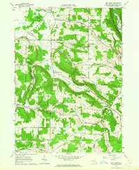
Editions of this 1963 New Albion Map
2 editions found
Other maps of this area

1900 · Cherry Creek
USGS Topo · 1:62,500

1905 · Jamestown
USGS Topo · 1:62,500

1922 · Randolph
USGS Topo · 1:62,500

1923 · Randolph
USGS Topo · 1:62,500

1923 · Cattaraugus
USGS Topo · 1:62,500

1938 · Cattaraugus
USGS Topo · 1:62,500

1941 · Cattaraugus
USGS Topo · 1:62,500

1941 · Cherry Creek
USGS Topo · 1:62,500

1942 · Jamestown
USGS Topo · 1:62,500

1943 · Randolph
USGS Topo · 1:62,500