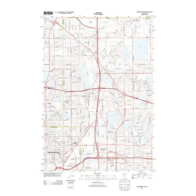
2013 Map of New Brighton
USGS Topo · Published 2013About this map
Lake Johanna and Turtle Lake anchor the glacial landscape of the northern Twin Cities suburbs as documented in 2013. This era shows the dense suburban maturation of Saint Anthony, Lauderdale, and the village of Hilltop, where residential street grids tightly surround numerous lakes and ponds. Educational institutions and religious centers are prominent features, with campuses such as Bethel Univ and United Theological Seminary of the Twin Cities occupying significant acreage near Valentine Lake.
Find a feature on this map
83 named features on this map. Tap any name to fly to it.
Don’t see what you’re looking for? This feature index may not catch every label — zoom into the map to look around manually.
Map Details
Editions of this 2013 New Brighton Map
This is the sole edition of this map. No revisions or reprints were ever made.
Other maps of this area

1896 · Minneapolis
USGS Topo · 1:62,500

1896 · St. Paul
USGS Topo · 1:62,500

1901 · Minneapolis
USGS Topo · 1:62,500

1902 · White Bear
USGS Topo · 1:62,500

1902 · Anoka
USGS Topo · 1:62,500

1951 · St. Paul West
USGS Topo · 1:24,000

1951 · St. Paul East
USGS Topo · 1:24,000

1951 · St. Paul
USGS Topo · 1:62,500

1952 · Centerville
USGS Topo · 1:24,000

1952 · White Bear Lake West
USGS Topo · 1:24,000