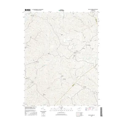
2016 Map of New Columbus
USGS Topo · Published 2016About this map
Eagle Creek winds through this rural Kentucky landscape, carving a deep loop around the prominent landform known as Mountain Island. The area is characterized by a dense network of small settlements and family-named cemeteries that reflect generations of local residence. In the eastern portion, New Columbus and Natlee serve as focal points for the community, with the latter featuring the historic Lees Mill Covered Bridge.
Find a feature on this map
76 named features on this map. Tap any name to fly to it.
Don’t see what you’re looking for? This feature index may not catch every label — zoom into the map to look around manually.
Map Details
Editions of this 2016 New Columbus Map
This is the sole edition of this map. No revisions or reprints were ever made.
Other maps of this area

1906 · Lockport
USGS Topo · 1:48,000

1908 · Lockport
USGS Topo · 1:62,500

1939 · Sadieville
USGS Topo · 1:62,500

1950 · Mason
USGS Topo · 1:24,000

1950 · Owenton
USGS Topo · 1:24,000

1950 · Lawrenceville
USGS Topo · 1:24,000

1953 · Monterey
USGS Topo · 1:24,000

1953 · Sadieville
USGS Topo · 1:24,000
1953 · Stamping Ground
USGS Topo · 1:24,000
1953 · New Columbus
USGS Topo · 1:24,000