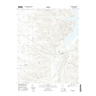
2016 Map of New Concord
USGS Topo · Published 2016About this map
Kentucky Lake defines the eastern shoreline of this Calloway County landscape, where the Blood River meets the larger reservoir near the community of New Concord. This 2016 survey illustrates a rural region marked by numerous small-family cemeteries and distinct topographical features such as Devils Pulpit and Culpepper Hollow. The settlement pattern centers around historic crossroads like Pottertown and New Providence, connected by a network of local roads that navigate the intricate drainage systems of Panther Cr, Wildcat Cr, and Lax Cr.
Find a feature on this map
98 named features on this map. Tap any name to fly to it.
Don’t see what you’re looking for? This feature index may not catch every label — zoom into the map to look around manually.
Map Details
Editions of this 2016 New Concord Map
This is the sole edition of this map. No revisions or reprints were ever made.
Other maps of this area

1936 · Conyersville
USGS Topo · 1:24,000

1936 · Buchanan
USGS Topo · 1:24,000

1936 · Hazel
USGS Topo · 1:24,000

1936 · New Concord
USGS Topo · 1:24,000

1936 · Hamlin
USGS Topo · 1:24,000

1936 · Centerville Landing
USGS Topo · 1:24,000

1936 · Rushing
USGS Topo · 1:24,000

1936 · Dexter
USGS Topo · 1:24,000

1936 · Hico
USGS Topo · 1:24,000

1942 · New Concord
USGS Topo · 1:24,000