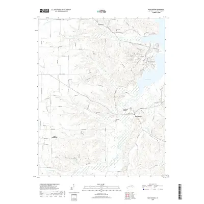
2019 Map of New Concord
USGS Topo · Published 2019About this map
New Concord and Pottertown anchor this detailed topography of southern Calloway County, where the landscape is defined by the expansive waters of Kentucky Lake and the winding course of the Blood River. The area is notably dense with family-named landmarks and historical burial sites, including the Barnett Cem, Coleman Cem, and Fitts - Dalton Cem, providing a rich resource for genealogists and local historians. The terrain shifts from the low-lying Blood River Bottoms to prominent high points like Devils Pulpit. Deep-cut valleys such as Culpepper Hollow and Egypt Hollow characterize the drainage patterns of Beechy Cr and Wildcat Cr, illustrating the complex network of creeks that feed into the larger river system during this modern era of mapping.
Find a feature on this map
108 named features on this map. Tap any name to fly to it.
Don’t see what you’re looking for? This feature index may not catch every label — zoom into the map to look around manually.
Map Details
Editions of this 2019 New Concord Map
This is the sole edition of this map. No revisions or reprints were ever made.
Other maps of this area

1936 · Conyersville
USGS Topo · 1:24,000

1936 · Buchanan
USGS Topo · 1:24,000

1936 · Hazel
USGS Topo · 1:24,000

1936 · New Concord
USGS Topo · 1:24,000

1936 · Hamlin
USGS Topo · 1:24,000

1936 · Centerville Landing
USGS Topo · 1:24,000

1936 · Rushing
USGS Topo · 1:24,000

1936 · Dexter
USGS Topo · 1:24,000

1936 · Hico
USGS Topo · 1:24,000

1942 · New Concord
USGS Topo · 1:24,000