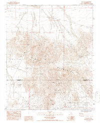
1985 Map of New Dale
USGS Topo · Published 1986About this map
Pinto Mountains define the central landscape of this desert quadrangle, where a cluster of mining claims marks a legacy of extraction near the San Bernardino and Riverside county line. The northern reaches are dominated by the dry expanse of Dale Lake, while the southern portion transitions into the protected lands of the Joshua Tree National Monument and the Joshua Tree Wilderness. This area, once a center of prospecting, is anchored by the New Dale townsite.
Find a feature on this map
24 named features on this map. Tap any name to fly to it.
Don’t see what you’re looking for? This feature index may not catch every label — zoom into the map to look around manually.
Map Details
Editions of this 1985 New Dale Map
This is the sole edition of this map. No revisions or reprints were ever made.
Other maps of this area

1942 · Amboy
USGS Topo · 1:250,000

1943 · Amboy
USGS Topo · 1:250,000

1943 · Pinkham Well
USGS Topo · 1:62,500

1944 · Pinkham Well
USGS Topo · 1:62,500

1944 · Eagle Tank
USGS Topo · 1:62,500

1954 · Salton Sea
USGS Topo · 1:250,000

1954 · Needles
USGS Topo · 1:250,000

1955 · Salton Sea
USGS Topo · 1:250,000

1956 · Needles
USGS Topo · 1:250,000

1956 · Dale Lake
USGS Topo · 1:62,500