Loading...
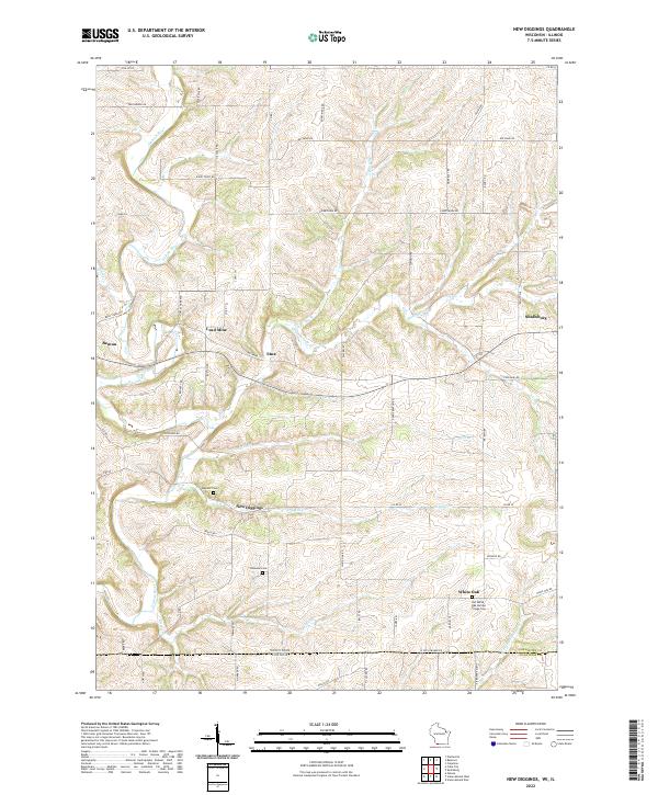
Loading map...2022 Map of New Diggings
USGS Topo · Published 2022About this map
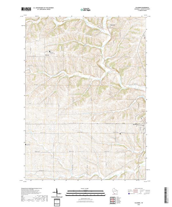
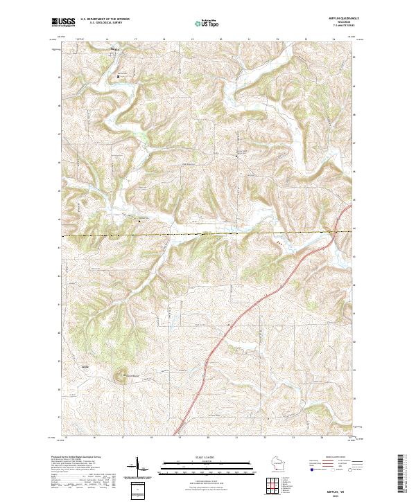
The Galena River and its numerous tributaries, including Diggins Cr and Ellis Br, carve through the driftless landscape of Lafayette County. This map documents a region deeply rooted in the nineteenth-century mining rush, centered around settlements like New Diggings and Lead Mine. The persistence of these small communities, alongside Etna and White Oak, illustrates a rural settlement pattern that has endured long after the height of the mineral extraction era.
Find a feature on this map
68 named features on this map. Tap any name to fly to it.
Don’t see what you’re looking for? This feature index may not catch every label — zoom into the map to look around manually.
Map Details
Date Portrayed2022
Date Published2022
PublisherU.S. Geological Survey
Map TypeTopographic
Scale1:24000
Physical Dimensions24 x 29 inches
Editions of this 2022 New Diggings Map
This is the sole edition of this map. No revisions or reprints were ever made.
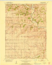
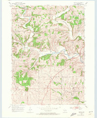
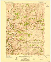
Historical Maps of Etna Through Time
6 maps found
Featured Locations
Source Details
SourceU.S. Geological Survey
CopyrightPublic Domain