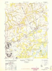
1948 Map of New Egypt
USGS Topo · Published 1949About this map
Fort McGuire Air Force Base and the expansive Dix Military Reservation dominate the southern half of this mid-century landscape, illustrating the significant military footprint in this part of New Jersey. The map records the infrastructure of the era, from the Tilton General Hospital Annex and Quartermaster laundry to the Sewage disposal plant serving the base. To the north, the terrain transitions into agricultural and small-town life, centered around the settlement of New Egypt and several Cranberry bogs near Cranberry Hall.
Find a feature on this map
46 named features on this map. Tap any name to fly to it.
Don’t see what you’re looking for? This feature index may not catch every label — zoom into the map to look around manually.
Map Details
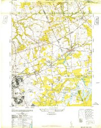
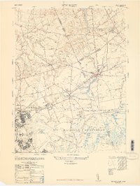
Editions of this 1948 New Egypt Map
3 editions found
Other maps of this area

1884 · Whitings
USGS Topo · 1:62,500

1888 · Bordentown
USGS Topo · 1:62,500

1888 · Pemberton
USGS Topo · 1:62,500

1888 · Cassville
USGS Topo · 1:62,500

1888 · Whitings
USGS Topo · 1:62,500

1893 · Bordentown
USGS Topo · 1:62,500

1894 · Cassville
USGS Topo · 1:62,500

1894 · Pemberton
USGS Topo · 1:62,500

1898 · Pemberton
USGS Topo · 1:62,500

1900 · Cassville
USGS Topo · 1:62,500
Featured Places
- Plumsted Township, NJ
- Upper Freehold Township, NJ
- Chesterfield Township, NJ
- Springfield Township, NJ
- Wrightstown, NJ