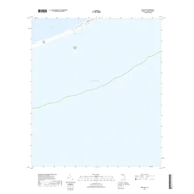
2018 Map of New Inlet
USGS Topo · Published 2018About this map
Saint George Island and Little Saint George Island dominate this coastal survey, where the delicate barrier island system separates the Apalachicola Bay from the open Gulf of Mexico. The landscape is defined by the narrow passage of New Inlet and the man-made navigation channel of Government Cut, which bisects the islands to provide water access between the bay and the sea. Development is sparse on this portion of the islands, with only Leisure Ln appearing as a localized road corridor. The topography reveals the shifting nature of these coastal landforms, illustrating the interplay of tidal currents and sediment transport that continually reshapes the Florida Panhandle coastline.
Find a feature on this map
7 named features on this map. Tap any name to fly to it.
Don’t see what you’re looking for? This feature index may not catch every label — zoom into the map to look around manually.
Map Details
Editions of this 2018 New Inlet Map
This is the sole edition of this map. No revisions or reprints were ever made.
Other maps of this area

1943 · West Pass
USGS Topo · 1:31,680

1943 · Apalachicola
USGS Topo · 1:31,680

1944 · Apalachicola
USGS Topo · 1:24,000

1945 · Cape St. George
USGS Topo · 1:31,680

1949 · Apalachicola
USGS Topo · 1:250,000

1950 · Goose Island
USGS Topo · 1:31,680
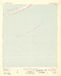
1950 · New Inlet
USGS Topo · 1:31,680

1957 · Apalachicola
USGS Topo · 1:250,000

1959 · Apalachicola
USGS Topo · 1:250,000
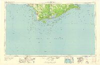
1960 · Apalachicola
USGS Topo · 1:250,000