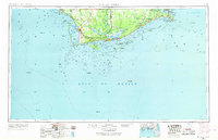
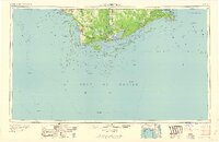
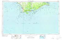
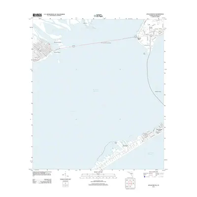
1957 Map of Apalachicola
USGS Topo · Published 1968About this map
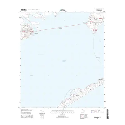
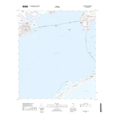
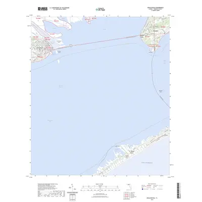
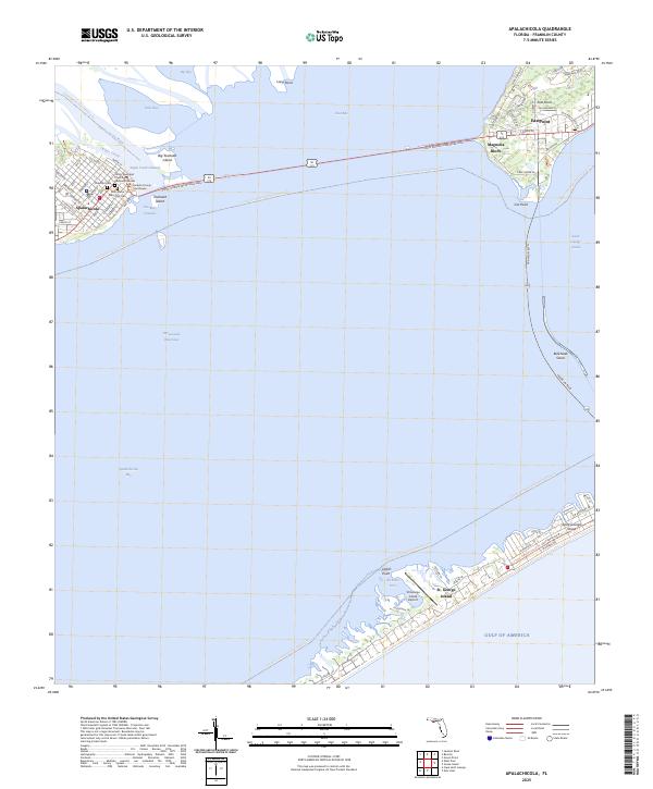
The maritime identity of the Florida Panhandle is defined by the sweeping barrier islands and intricate bay systems of the Gulf Coast. Coastal communities like Apalachicola and Port St Joe serve as focal points for the region's river and rail economy, with the An RR line connecting the coast to the interior. The landscape is dominated by significant wetlands, including the massive Tates Hell Swamp and Indian Swamp, which underscore the isolation and natural scale of the Forgotten Coast during the mid-20th century.
Find a feature on this map
108 named features on this map. Tap any name to fly to it.
Don’t see what you’re looking for? This feature index may not catch every label — zoom into the map to look around manually.
Map Details
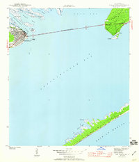
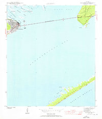
Editions of this 1957 Apalachicola Map
2 editions found
Historical Maps of Port Saint Joe Through Time
15 maps found
1943 Apalachicola
Franklin County, FL
1944 Apalachicola
Franklin County, FL

1949 Apalachicola
Franklin County, FL
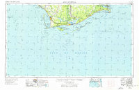
1957 Apalachicola
Franklin County, FL

1959 Apalachicola
Franklin County, FL
1960 Apalachicola
Franklin County, FL
1967 Apalachicola
Franklin County, FL
1982 Apalachicola
Franklin County, FL
1988 Apalachicola
Franklin County, FL
2012 Apalachicola
Franklin County, FL
2015 Apalachicola
Franklin County, FL
2018 Apalachicola
Franklin County, FL

2021 Apalachicola
Franklin County, FL
2024 Apalachicola
Franklin County, FL
2025 Apalachicola
Franklin County, FL