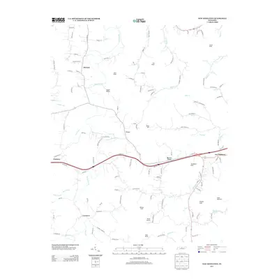
2013 Map of New Middleton
USGS Topo · Published 2013About this map
New Middleton and the nearby community of Shaver Town anchor this portion of Smith County, where the landscape transitions from the broad bottoms of Round Lick Cr to a series of prominent knobs. The settlement pattern follows the intricate drainage network, with homes and farms clustered along Mulherrin Cr and the winding course of Jennings Fork. Higher elevations are marked by distinct landmarks like Tomahawk Knob and Evans Mountain, which separate the various hollows and creek valleys.
Find a feature on this map
111 named features on this map. Tap any name to fly to it.
Don’t see what you’re looking for? This feature index may not catch every label — zoom into the map to look around manually.
Map Details
Editions of this 2013 New Middleton Map
This is the sole edition of this map. No revisions or reprints were ever made.
Other maps of this area

1928 · Gordonsville
USGS Topo · 1:62,500

1932 · Carthage
USGS Topo · 1:62,500

1942 · Statesville
USGS Topo · 1:100,000

1956 · Corbin
USGS Topo · 1:250,000

1956 · Nashville
USGS Topo · 1:250,000

1958 · New Middleton
USGS Topo · 1:24,000

1958 · Corbin
USGS Topo · 1:250,000

1958 · Bellwood
USGS Topo · 1:24,000

1958 · Watertown
USGS Topo · 1:24,000

1958 · Dixon Springs
USGS Topo · 1:24,000