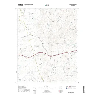
2019 Map of New Middleton
USGS Topo · Published 2019About this map
Round Lick Creek and its many tributaries, including Jennings Fork and Mulherrin Cr, carve through this section of Middle Tennessee, defining a landscape of hollows and prominent knobs. The settlement pattern follows these watercourses and the historical path of the Trousdale Ferry Pike, which connects small communities like New Middleton and Shaver Town. This 2019 survey reveals a high density of family-named cemeteries such as Bethlehem Cem, Shaver Cem, and Phillips Cem, serving as vital markers for genealogical research in Smith and Wilson counties. High ground is frequently named, with Tomahawk Knob, Pilot Knob, and Walnut Knob rising above the winding valley roads. The map illustrates how modern transit corridors parallel older routes, passing through established crossroads like Grant and Commerce while maintaining the traditional names of local landmarks like Tuggle Hollow.
Find a feature on this map
113 named features on this map. Tap any name to fly to it.
Don’t see what you’re looking for? This feature index may not catch every label — zoom into the map to look around manually.
Map Details
Editions of this 2019 New Middleton Map
This is the sole edition of this map. No revisions or reprints were ever made.
Other maps of this area

1928 · Gordonsville
USGS Topo · 1:62,500

1932 · Carthage
USGS Topo · 1:62,500

1942 · Statesville
USGS Topo · 1:100,000

1956 · Corbin
USGS Topo · 1:250,000

1956 · Nashville
USGS Topo · 1:250,000

1958 · New Middleton
USGS Topo · 1:24,000

1958 · Corbin
USGS Topo · 1:250,000

1958 · Bellwood
USGS Topo · 1:24,000

1958 · Watertown
USGS Topo · 1:24,000

1958 · Dixon Springs
USGS Topo · 1:24,000