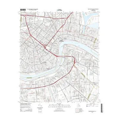
2015 Map of New Orleans East
USGS Topo · Published 2015About this map
New Orleans and its iconic riverfront neighborhoods are documented here in high detail, from the historic Vieux Carre and Faubourg Marigny to the Garden District and the legacy of Storyville. The Mississippi River forms the central axis, curving through Gouldsboro Bend and the Third District Reach, separating the city proper from West Bank communities like Gretna, Algiers Point, and McDonoghville. This 2015 edition provides an exceptional record of New Orleans' unique funerary landscape, mapping numerous historic burial grounds including Metairie Cem, Holt Cem, and Lafayette Cem Number 1. On the Jefferson Parish side, industrial and transit infrastructure is prominent along the Harvey Canal Number One and the Westbank Expy, while large institutions such as Tulane Univ of Louisiana and Dillard Univ anchor the uptown and lakeside districts. The map preserves the complex network of canals like the Inner Harbor Navigation Canal and the Intracoastal Waterway that define the city's modern geography.
Find a feature on this map
105 named features on this map. Tap any name to fly to it.
Don’t see what you’re looking for? This feature index may not catch every label — zoom into the map to look around manually.
Map Details
Editions of this 2015 New Orleans East Map
This is the sole edition of this map. No revisions or reprints were ever made.
Other maps of this area

1891 · Spanish Fort
USGS Topo · 1:62,500

1891 · New Orleans
USGS Topo · 1:62,500

1892 · Chef Menteur
USGS Topo · 1:62,500

1892 · St. Bernard
USGS Topo · 1:62,500

1932 · New Orleans NE
USGS Topo · 1:31,680

1932 · New Orleans NW
USGS Topo · 1:31,680

1932 · New Orleans SE
USGS Topo · 1:31,680

1932 · New Orleans SW
USGS Topo · 1:31,680

1936 · Chef Menteur
USGS Topo · 1:62,500

1936 · Spanish Fort
USGS Topo · 1:62,500