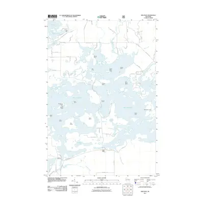
2011 Map of New Post
USGS Topo · Published 2011About this map
Lake Chippewa dominates this northern Wisconsin landscape, its complex shoreline and island-dotted waters created by the flowage of the West Fork Chippewa River. The settlement of New Post sits along the southern edge of the flowage, serving as a focal point for the surrounding network of lakeside roads and forest access routes. The map detail reflects a region deeply shaped by water management and recreation, anchored by the Callahan Lake Dam and the Blueberry Campground. Numerous named landforms emerge from the reservoir, including Eagles Nest Island, Pork Barrel Island, and Hermans Landing. The intricate geography of points and bays, such as Pine Point and Slivers Point, suggests a landscape tailored for seasonal residency and sporting, where the original river system has been transformed into a sprawling aquatic maze.
Find a feature on this map
80 named features on this map. Tap any name to fly to it.
Don’t see what you’re looking for? This feature index may not catch every label — zoom into the map to look around manually.
Map Details
Editions of this 2011 New Post Map
This is the sole edition of this map. No revisions or reprints were ever made.
Other maps of this area

1943 · Namekagon Lake
USGS Topo · 1:48,000

1944 · Couderay
USGS Topo · 1:48,000

1944 · Radisson
USGS Topo · 1:48,000

1944 · Hayward
USGS Topo · 1:48,000

1945 · Namekagon Lake
USGS Topo · 1:48,000

1948 · Couderay
USGS Topo · 1:48,000

1949 · Radisson
USGS Topo · 1:48,000

1953 · Ashland
USGS Topo · 1:250,000

1953 · Rice Lake
USGS Topo · 1:250,000

1958 · Ashland
USGS Topo · 1:250,000