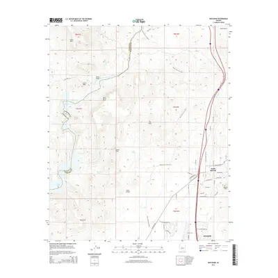
2014 Map of New River
USGS Topo · Published 2014About this map
The New River corridor north of Phoenix reveals a landscape defined by significant elevation changes and the desert's vital water sources. This 2014 survey captures the rapid development of Anthem at the southern edge, while the northern and western sections remain dominated by massive landforms like Indian Mesa and Wild Burro Mesa. The Black Canyon Trail (BCT) winds through these heights, offering a primary route for exploration across the high desert terrain.
Find a feature on this map
52 named features on this map. Tap any name to fly to it.
Don’t see what you’re looking for? This feature index may not catch every label — zoom into the map to look around manually.
Map Details
Editions of this 2014 New River Map
This is the sole edition of this map. No revisions or reprints were ever made.
Other maps of this area

1887 · Prescott
USGS Topo · 1:250,000

1892 · Prescott
USGS Topo · 1:250,000

1903 · Bradshaw Mountains
USGS Topo · 1:125,000

1947 · Crown King
USGS Topo · 1:62,500

1947 · Bumblebee
USGS Topo · 1:62,500

1948 · Bumblebee
USGS Topo · 1:63,360

1948 · Crown King
USGS Topo · 1:63,360

1950 · Crown King
USGS Topo · 1:62,500

1950 · Bumblebee
USGS Topo · 1:62,500

1950 · Prescott
USGS Topo · 1:250,000