2021 Map of New River
USGS Topo · Published 2021About this map
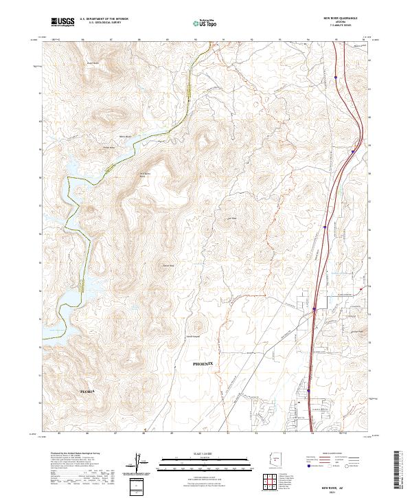
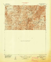
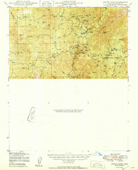
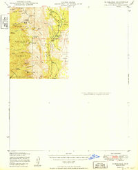
Indian Mesa and Wild Burro Mesa rise above the drainage of the Agua Fria River, marking a transition from the Sonoran desert floor to the rugged uplands north of Phoenix. This 2021 survey shows the sprawling residential expansion of Peoria and Phoenix pushing into the desert foothills, where newer roads like W Arroyo Norte Dr meet established ranching and utility corridors. The map records a complex landscape of water management and natural resources, featuring Lake Pleasant in the southwest and the winding New River to the east. Hikers and researchers can trace the historical Black Canyon Trl as it weaves through the terrain, passing landmarks such as Doe Peak and Whiskey Spring. Significant infrastructure, including the N El Paso Gas Pipeline Rd, cuts across the northern reaches near Boulder Creek Ranch, illustrating the intersection of modern utility and traditional land use.
Find a feature on this map
57 named features on this map. Tap any name to fly to it.
Don’t see what you’re looking for? This feature index may not catch every label — zoom into the map to look around manually.
Map Details
Editions of this 2021 New River Map
This is the sole edition of this map. No revisions or reprints were ever made.
Other maps of this area

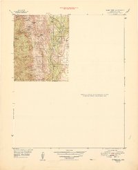
1887 · Prescott
USGS Topo · 1:250,000

1892 · Prescott
USGS Topo · 1:250,000

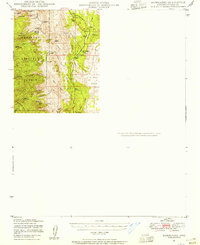
1903 · Bradshaw Mountains
USGS Topo · 1:125,000
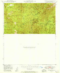
1947 · Crown King
USGS Topo · 1:62,500
1947 · Bumblebee
USGS Topo · 1:62,500
1948 · Bumblebee
USGS Topo · 1:63,360
1948 · Crown King
USGS Topo · 1:63,360
1950 · Crown King
USGS Topo · 1:62,500
1950 · Bumblebee
USGS Topo · 1:62,500

1950 · Prescott
USGS Topo · 1:250,000