Loading...
Loading map...2024 Map of New Salem
USGS Topo · Published 2024About this map
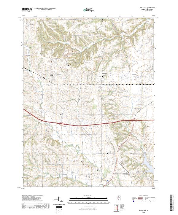
The small communities of New Salem and Maysville anchor this portion of Pike County, characterized by a series of north-south running ridge lines and creek valleys. South of these settlements, the terrain transitions toward the city of Pittsfield, where the Pittsfield Penstone Municipal Airport and the waters of Lake Pittsfield define the local landscape. The map reveals a dense network of township roads and county highways that link established family landmarks and community centers.
Find a feature on this map
78 named features on this map. Tap any name to fly to it.
Don’t see what you’re looking for? This feature index may not catch every label — zoom into the map to look around manually.
Map Details
Date Portrayed2024
Date Published2024
PublisherU.S. Geological Survey
Map TypeTopographic
Scale1:24000
Physical Dimensions24 x 29 inches
Editions of this 2024 New Salem Map
This is the sole edition of this map. No revisions or reprints were ever made.
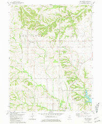
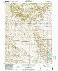
Historical Maps of New Salem Through Time
Featured Locations
Source Details
SourceU.S. Geological Survey
CopyrightPublic Domain