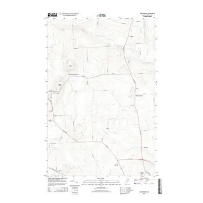
2014 Map of New Sweden
USGS Topo · Published 2014About this map
New Sweden and the surrounding Swedish-American agricultural settlements are mapped here in the early 21st century, showing a landscape defined by rolling hills and small tributary streams. Small communities like New Sweden Station, Ogren, and North Lyndon are connected by a network of rural roads such as Madawaska Rd and Van Buren Rd, reflecting the area's continued reliance on local transit and farming. This survey reveals a dense concentration of lineage history through its numerous small burial grounds, including the Williams Family Cem and the Johnson Cem, which are scattered throughout the hillsides.
Find a feature on this map
61 named features on this map. Tap any name to fly to it.
Don’t see what you’re looking for? This feature index may not catch every label — zoom into the map to look around manually.
Map Details
Editions of this 2014 New Sweden Map
This is the sole edition of this map. No revisions or reprints were ever made.
Other maps of this area

1921 · Van Buren
USGS Topo · 1:250,000

1927 · Stockholm
USGS Topo · 1:48,000

1929 · Caribou
USGS Topo · 1:48,000

1930 · Fort Fairfield
USGS Topo · 1:48,000

1931 · Van Buren
USGS Topo · 1:48,000

1931 · Stockholm
USGS Topo · 1:62,500

1932 · Caribou
USGS Topo · 1:62,500

1933 · Fort Fairfield
USGS Topo · 1:62,500

1934 · Van Buren
USGS Topo · 1:62,500

1951 · Van Buren
USGS Topo · 1:62,500