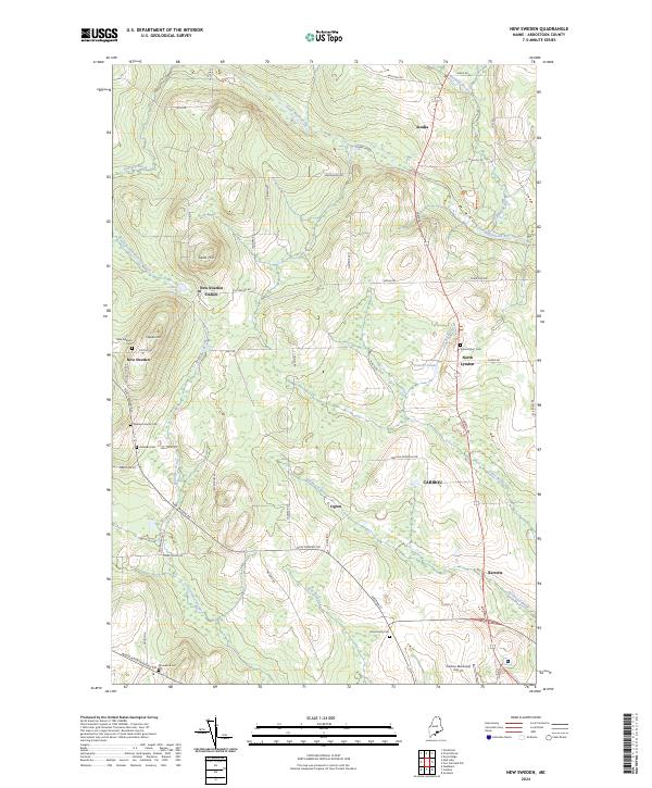
2024 Map of New Sweden
USGS Topo · Published 2024About this map
New Sweden and its unique cultural landscape are documented in this detailed study of northern Aroostook County. The area’s Swedish heritage is reflected in the layout of settlements and family landmarks such as the Williams Family Cem and Johnson Cem, which sit atop the higher ground of Capitol Hill and Gelot Hill. The Little Madawaska River winds through the northern portion of the quadrangle, bordering the Aroostook National Wildlife Refuge, while the southern reaches transition into the municipal outskirts of Caribou.
Find a feature on this map
64 named features on this map. Tap any name to fly to it.
Don’t see what you’re looking for? This feature index may not catch every label — zoom into the map to look around manually.
Map Details
Editions of this 2024 New Sweden Map
This is the sole edition of this map. No revisions or reprints were ever made.
Other maps of this area

1921 · Van Buren
USGS Topo · 1:250,000

1927 · Stockholm
USGS Topo · 1:48,000

1929 · Caribou
USGS Topo · 1:48,000

1930 · Fort Fairfield
USGS Topo · 1:48,000

1931 · Van Buren
USGS Topo · 1:48,000

1931 · Stockholm
USGS Topo · 1:62,500

1932 · Caribou
USGS Topo · 1:62,500

1933 · Fort Fairfield
USGS Topo · 1:62,500

1934 · Van Buren
USGS Topo · 1:62,500

1951 · Van Buren
USGS Topo · 1:62,500