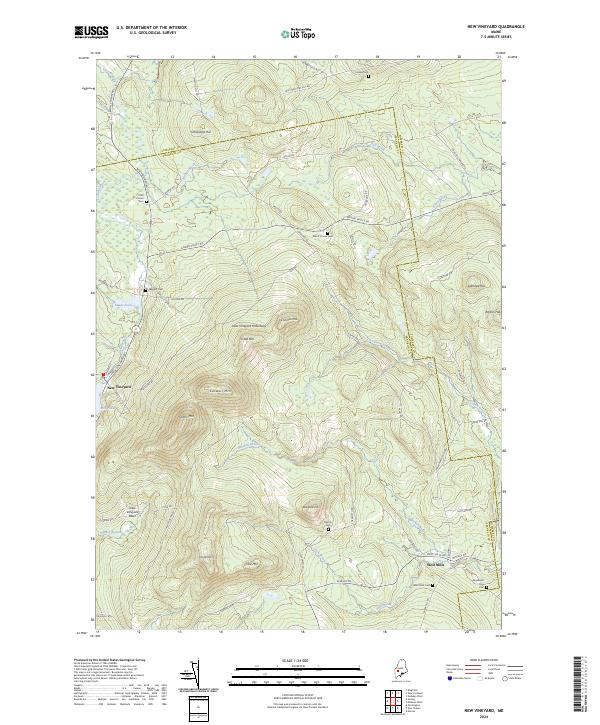
2024 Map of New Vineyard
USGS Topo · Published 2024About this map
New Vineyard Mountains dominate this section of Franklin County, where the peaks of Caswell Mtn, Griffin Mtn, and Norton Mtn define a high, wooded interior. The settlement of New Vineyard sits at the southwestern base of these heights, positioned near the waters of Mill Pond and the New Vineyard Basin. Further east, the village of West Mills provides a secondary anchor for the area's rural road network, which follows the winding paths of Lemon Stream and Barker Brook.
Find a feature on this map
69 named features on this map. Tap any name to fly to it.
Don’t see what you’re looking for? This feature index may not catch every label — zoom into the map to look around manually.
Map Details
Editions of this 2024 New Vineyard Map
This is the sole edition of this map. No revisions or reprints were ever made.
Other maps of this area

1894 · Norridgewock
USGS Topo · 1:62,500

1898 · Norridgewock
USGS Topo · 1:62,500

1904 · Anson
USGS Topo · 1:62,500

1924 · Farmington
USGS Topo · 1:62,500

1930 · Kingfield
USGS Topo · 1:48,000

1932 · Kingfield
USGS Topo · 1:62,500

1943 · Norridgewock
USGS Topo · 1:62,500

1948 · Bangor
USGS Topo · 1:250,000

1950 · Lewiston
USGS Topo · 1:250,000

1955 · Anson
USGS Topo · 1:62,500