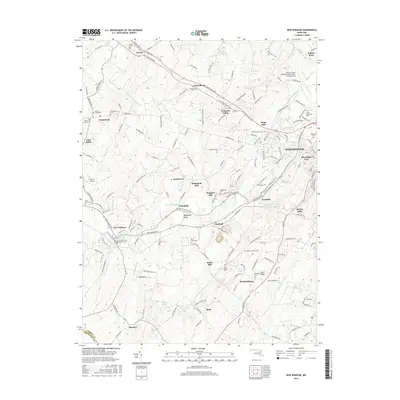
2016 Map of New Windsor
USGS Topo · Published 2016About this map
New Windsor and the western outskirts of Westminster anchor this Carroll County landscape, defined by a network of drainage runs and traditional agricultural settlements. The map highlights a rural economy historically tied to water power, evidenced by Roop Mill, Wagners Mill, and Bailes Mill along the winding courses of Little Pipe Creek and its tributaries. These mills once served the surrounding farming hamlets of Frizzellburg, Tyrone, and Uniontown, which remain connected by long-established routes like the Taneytown Pike and Old Taneytown Road.
Find a feature on this map
172 named features on this map. Tap any name to fly to it.
Don’t see what you’re looking for? This feature index may not catch every label — zoom into the map to look around manually.
Map Details
Editions of this 2016 New Windsor Map
This is the sole edition of this map. No revisions or reprints were ever made.
Other maps of this area

1892 · Ellicott
USGS Topo · 1:62,500

1893 · Frederick
USGS Topo · 1:125,000

1894 · Ellicott
USGS Topo · 1:62,500

1894 · Frederick
USGS Topo · 1:125,000

1905 · Westminster
USGS Topo · 1:62,500

1906 · Ellicott
USGS Topo · 1:62,500

1908 · Patapsco
USGS Topo · 1:125,000

1909 · Mount Airy
USGS Topo · 1:62,500

1911 · Taneytown
USGS Topo · 1:62,500

1942 · Gettysburg
USGS Topo · 1:125,000
Featured Places
- Westminster, MD
- New Windsor, MD
- Tri-Woods, MD
- Whispering Meadows, Westminster
- Stevenson Garden Estates, MD