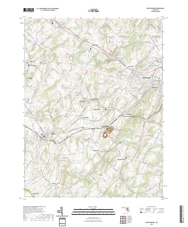
2023 Map of New Windsor
USGS Topo · Published 2023About this map
The rolling hills of Carroll County are anchored by New Windsor and the western edge of Westminster, where McDaniel College sits near the headwaters of Copps Branch. The landscape reflects a deep religious and agricultural heritage, evident in the high density of rural burial grounds such as the Saint Paul's United Methodist Brick Chapel Cem and New Windsor Presbyterian Church Cem. These sites, often positioned on high ground like Parrs Ridge, serve as focal points for the surrounding hamlets of Frizzellburg, Uniontown, and Warfieldsburg.
Find a feature on this map
180 named features on this map. Tap any name to fly to it.
Don’t see what you’re looking for? This feature index may not catch every label — zoom into the map to look around manually.
Map Details
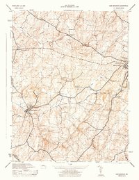
Editions of this 2023 New Windsor Map
This is the sole edition of this map. No revisions or reprints were ever made.
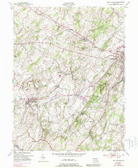
Historical Maps of Amanda Hills Through Time
3 maps found
Featured Locations
- New Windsor, MD
- Tri-Woods, MD
- Stevenson Garden Estates, MD
- Westminster, MD
- Whispering Meadows, Westminster