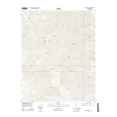
2015 Map of New York Butte
USGS Topo · Published 2015About this map
Beveridge sits high on the eastern slopes of the Inyo Mountains, a site shaped by its proximity to steep drainage systems like Beveridge Canyon and Hunter Canyon. This 2015 survey details the sharp verticality of the White-Inyo Range, where high-elevation landmarks such as Mt Inyo, Keynot Peak, and New York Butte dominate the skyline. The map documents the transition from the high ridges down toward the northern reaches of the Mojave Desert, marked by isolated water sources such as Bee Spring, French Spring, and Goat Springs. The presence of Forgotten Pass suggests the difficult transit required between these deep canyons, providing a technical look at the land's hydrology and relief through features like Union Wash and McElvoy Canyon.
Find a feature on this map
24 named features on this map. Tap any name to fly to it.
Don’t see what you’re looking for? This feature index may not catch every label — zoom into the map to look around manually.
Map Details
Editions of this 2015 New York Butte Map
This is the sole edition of this map. No revisions or reprints were ever made.
Other maps of this area

1907 · Mt. Whitney
USGS Topo · 1:125,000

1908 · Ballarat
USGS Topo · 1:250,000

1913 · Ballarat
USGS Topo · 1:250,000

1919 · Mt. Whitney
USGS Topo · 1:125,000

1937 · Mt. Whitney
USGS Topo · 1:125,000

1948 · Death Valley
USGS Topo · 1:250,000

1948 · Fresno
USGS Topo · 1:250,000

1950 · New York Butte
USGS Topo · 1:62,500

1951 · New York Butte
USGS Topo · 1:62,500

1951 · Waucoba Wash
USGS Topo · 1:62,500