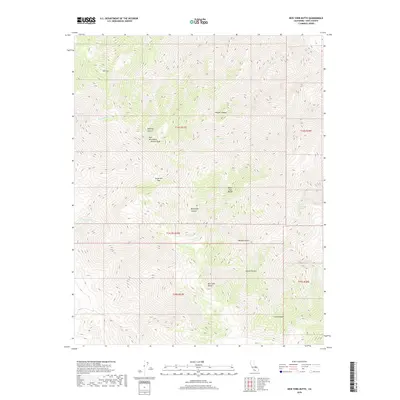
2018 Map of New York Butte
USGS Topo · Published 2018About this map
New York Butte and Mt Inyo anchor the high-altitude topography of the Inyo Mountains in this modern-era survey of the White-Inyo Range. The landscape is defined by its dramatic relief, falling away into steep drainages such as McElvoy Canyon, Beveridge Canyon, and Keynot Canyon. A complex network of springs, including Cove Spring, French Spring, and Bighorn Spring, provides vital water points in an otherwise arid environment that borders the northern reaches of the Mojave Desert. This survey illustrates the intricate drainage patterns of Union Wash and Hunter Canyon, while also marking the high-pass transit point of Forgotten Pass. The proximity of Keynot Peak to the deep canyon systems suggests the challenging terrain historically navigated by prospectors and travelers in this part of Inyo County.
Find a feature on this map
23 named features on this map. Tap any name to fly to it.
Don’t see what you’re looking for? This feature index may not catch every label — zoom into the map to look around manually.
Map Details
Editions of this 2018 New York Butte Map
This is the sole edition of this map. No revisions or reprints were ever made.
Other maps of this area

1907 · Mt. Whitney
USGS Topo · 1:125,000

1908 · Ballarat
USGS Topo · 1:250,000

1913 · Ballarat
USGS Topo · 1:250,000

1919 · Mt. Whitney
USGS Topo · 1:125,000

1937 · Mt. Whitney
USGS Topo · 1:125,000

1948 · Death Valley
USGS Topo · 1:250,000

1948 · Fresno
USGS Topo · 1:250,000

1950 · New York Butte
USGS Topo · 1:62,500

1951 · New York Butte
USGS Topo · 1:62,500

1951 · Waucoba Wash
USGS Topo · 1:62,500