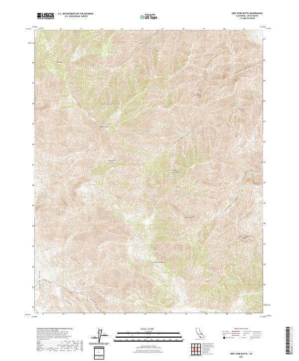
2021 Map of New York Butte
USGS Topo · Published 2021About this map
The Inyo Mountains dominate this high-elevation landscape, where the White-Inyo Range drops steeply toward the Owens Valley to the west and the Mojave Desert to the south. This rugged verticality is defined by prominent summits such as New York Butte, Mt Inyo, and Keynot Peak, which serve as key landmarks for backcountry navigation. The map illustrates a network of steep drainage systems, including Beveridge Canyon, Hunter Canyon, and McElvoy Canyon, which provide essential geographic context for the region's complex terrain.
Find a feature on this map
24 named features on this map. Tap any name to fly to it.
Don’t see what you’re looking for? This feature index may not catch every label — zoom into the map to look around manually.
Map Details
Editions of this 2021 New York Butte Map
This is the sole edition of this map. No revisions or reprints were ever made.
Other maps of this area

1907 · Mt. Whitney
USGS Topo · 1:125,000

1908 · Ballarat
USGS Topo · 1:250,000

1913 · Ballarat
USGS Topo · 1:250,000

1919 · Mt. Whitney
USGS Topo · 1:125,000

1937 · Mt. Whitney
USGS Topo · 1:125,000

1948 · Death Valley
USGS Topo · 1:250,000

1948 · Fresno
USGS Topo · 1:250,000

1950 · New York Butte
USGS Topo · 1:62,500

1951 · New York Butte
USGS Topo · 1:62,500

1951 · Waucoba Wash
USGS Topo · 1:62,500