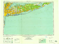
1958 Map of New York
USGS Topo · Published 1958About this map
Long Island Sound and the Atlantic Ocean frame the sprawling geography of Long Island and the lower Hudson Valley in this mid-century portrait. The extensive network of the Long Island RR serves as the backbone for suburban expansion across Nassau County and into Suffolk County, connecting established villages like Patchogue and Port Jefferson to the industrial centers of the U S Navy Yard and Yonkers. Large-scale infrastructure projects including the Garden State Parkway and Long Island Expwy appear alongside significant military footprints such as the Camp Upton Military Reservation and coastal defenses at Fort Hancock. From the dense urban grid of Kings County to the reaches of Montauk Point, the map documents the transition of the region from a collection of maritime and farming outposts into a massive metropolitan corridor.
Find a feature on this map
156 named features on this map. Tap any name to fly to it.
Don’t see what you’re looking for? This feature index may not catch every label — zoom into the map to look around manually.
Map Details
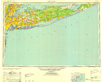
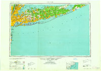
Editions of this 1958 New York Map
3 editions found
Other maps of this area

1888 · Barnegat
USGS Topo · 1:62,500

1888 · Asbury Park
USGS Topo · 1:62,500

1888 · Paterson
USGS Topo · 1:62,500

1888 · Sandy Hook
USGS Topo · 1:62,500

1889 · Brooklyn
USGS Topo · 1:62,500

1891 · Ramapo
USGS Topo · 1:62,500

1891 · Brooklyn
USGS Topo · 1:62,500

1891 · Harlem
USGS Topo · 1:62,500

1891 · Bridgeport
USGS Topo · 1:62,500

1892 · Stamford
USGS Topo · 1:62,500