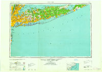
1958 Map of New York
USGS Topo · Published 1958About this map
Long Island serves as the focal point for this mid-century regional survey, illustrating the dense suburban expansion outward from New York. The map captures the post-war landscape of Nassau and Suffolk counties, notably featuring the planned community of Levittown alongside established centers like Hempstead and Mineola. Transportation networks are heavily detailed, showing the extensive Long Island Rail Road corridors and the developing parkway system, including the Southern State Parkway and Northern State Parkway. Along the Atlantic coast, the map documents a series of defensive and maritime landmarks from Fort Hamilton near the Lower Bay to the remote Montauk Point. This era is defined by the coexistence of large-scale military sites like Camp Upton Military Reservation and the burgeoning public recreation areas at Jones Beach State Park and Fire Island.
Find a feature on this map
159 named features on this map. Tap any name to fly to it.
Don’t see what you’re looking for? This feature index may not catch every label — zoom into the map to look around manually.
Map Details
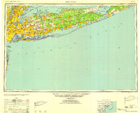
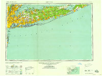
Editions of this 1958 New York Map
3 editions found
Other maps of this area

1888 · Barnegat
USGS Topo · 1:62,500

1888 · Asbury Park
USGS Topo · 1:62,500

1888 · Paterson
USGS Topo · 1:62,500

1888 · Sandy Hook
USGS Topo · 1:62,500

1889 · Brooklyn
USGS Topo · 1:62,500

1891 · Ramapo
USGS Topo · 1:62,500

1891 · Brooklyn
USGS Topo · 1:62,500

1891 · Harlem
USGS Topo · 1:62,500

1891 · Bridgeport
USGS Topo · 1:62,500

1892 · Stamford
USGS Topo · 1:62,500