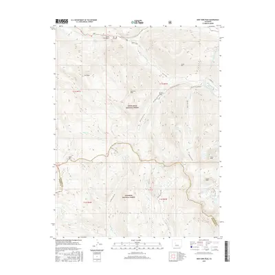
2016 Map of New York Peak
USGS Topo · Published 2016About this map
The high-altitude divide between Pitkin and Gunnison counties defines this wilderness landscape, where the northern slopes fall toward the Roaring Fork River and the southern reaches drain through the Gunnison National Forest. A complex network of irrigation and water management is visible in the New York Collection Canal and its associated NY Canal Service Road, which cut across the steep terrain of Brooklyn Gulch.
Find a feature on this map
44 named features on this map. Tap any name to fly to it.
Don’t see what you’re looking for? This feature index may not catch every label — zoom into the map to look around manually.
Map Details
Editions of this 2016 New York Peak Map
This is the sole edition of this map. No revisions or reprints were ever made.
Other maps of this area

1888 · Crested Butte
USGS Topo · 1:62,500

1889 · Crested Butte
USGS Topo · 1:62,500

1893 · Crested Butte
USGS Topo · 1:62,500

1893 · Aspen
USGS Topo · 1:62,500

1895 · Aspen
USGS Topo · 1:62,500

1909 · Mount Jackson
USGS Topo · 1:125,000

1911 · Mount Jackson
USGS Topo · 1:125,000

1934 · Taylor Park
USGS Topo · 1:62,500

1937 · Taylor Park
USGS Topo · 1:62,500

1956 · Montrose
USGS Topo · 1:250,000