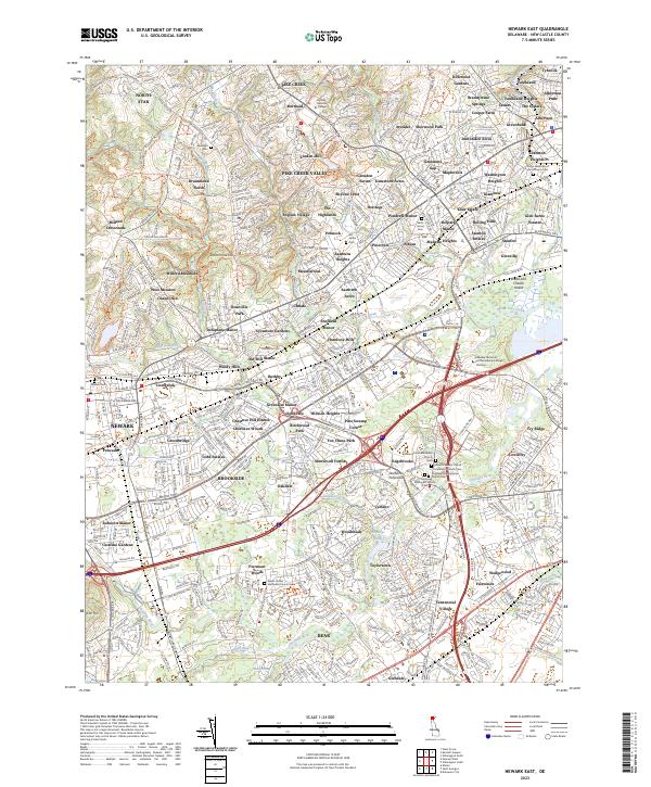
2023 Map of Newark East
USGS Topo · Published 2023About this map
White Clay Creek and the Christina River converge in this densely settled portion of New Castle County, where suburban development meets long-standing religious and educational landmarks. The landscape is notably punctuated by several historic burial grounds, including the Christiana Presbyterian Church Cem and the Salem United Methodist Church Cem, reflecting the deep community roots in the area. Educational institutions like Goldey-Beacom College and Delaware Technical and Community College - Stanton anchor the northern and central corridors.
Find a feature on this map
392 named features on this map. Tap any name to fly to it.
Don’t see what you’re looking for? This feature index may not catch every label — zoom into the map to look around manually.
Map Details
Editions of this 2023 Newark East Map
This is the sole edition of this map. No revisions or reprints were ever made.
Other maps of this area

1898 · Elkton
USGS Topo · 1:62,500

1900 · Elkton
USGS Topo · 1:62,500

1901 · West Chester
USGS Topo · 1:62,500

1904 · West Chester
USGS Topo · 1:62,500

1904 · Coatesville
USGS Topo · 1:62,500

1904 · Wilmington
USGS Topo · 1:62,500

1906 · Coatesville
USGS Topo · 1:62,500

1906 · Wilmington
USGS Topo · 1:62,500

1917 · Elkton
USGS Topo · 1:62,500

1918 · Coatesville
USGS Topo · 1:62,500