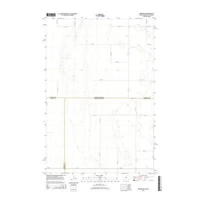
2014 Map of Newark NW
USGS Topo · Published 2014About this map
The high plains along the intersection of four counties and two states define this remote landscape at the North Dakota and South Dakota border. This survey illustrates a vast grid of section roads and rural routes, centered on the tri-point where Sargent Co, Brown Co, and Marshall Co meet. The terrain is characterized by numerous small, unnamed depressions and prairie potholes typical of this glaciated region. Notable thoroughfares such as 104th St and 120th Ave SE provide the only structure to an area largely devoid of concentrated settlements, reflecting the sparse agricultural nature of the northern plains in the early 21st century. This map offers a precise view of property boundaries and local road networks like 417th Ave and 101st St that are essential for understanding land use and genealogy in this multi-county borderland.
Find a feature on this map
22 named features on this map. Tap any name to fly to it.
Don’t see what you’re looking for? This feature index may not catch every label — zoom into the map to look around manually.
Map Details
Editions of this 2014 Newark NW Map
This is the sole edition of this map. No revisions or reprints were ever made.
Other maps of this area

1894 · Hecla
USGS Topo · 1:62,500

1894 · Oakes
USGS Topo · 1:62,500

1895 · Lamoure
USGS Topo · 1:125,000

1896 · Columbia
USGS Topo · 1:125,000

1918 · La Moure
USGS Topo · 1:125,000

1953 · Jamestown
USGS Topo · 1:250,000

1953 · Hecla SE
USGS Topo · 1:24,000

1953 · Newark SW
USGS Topo · 1:24,000

1953 · Newark
USGS Topo · 1:24,000

1953 · Milbank
USGS Topo · 1:250,000