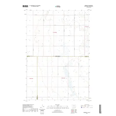
2018 Map of Newark NW
USGS Topo · Published 2018About this map
The North Dakota South Dakota state line defines the central axis of this landscape, where the northern Great Plains meet the glacial prairie of the James River Valley. The terrain is characterized by a high density of seasonal wetlands and prairie potholes, particularly concentrated east of 415th Ave and around the intersection of Co Hwy 2. This quadrangle captures a unique four-county meeting point where the Sargent Co Brown Co line and the Sargent Co Marshall Co boundary converge with the Brown Co Marshall Co border. The section-line road network, including 115th Ave SE and 100th St, reflects the systematic land surveys of the 19th century, providing a clear view of the rural township structure that persists into the modern era.
Find a feature on this map
26 named features on this map. Tap any name to fly to it.
Don’t see what you’re looking for? This feature index may not catch every label — zoom into the map to look around manually.
Map Details
Editions of this 2018 Newark NW Map
This is the sole edition of this map. No revisions or reprints were ever made.
Other maps of this area

1894 · Hecla
USGS Topo · 1:62,500

1894 · Oakes
USGS Topo · 1:62,500

1895 · Lamoure
USGS Topo · 1:125,000

1896 · Columbia
USGS Topo · 1:125,000

1918 · La Moure
USGS Topo · 1:125,000

1953 · Jamestown
USGS Topo · 1:250,000

1953 · Hecla SE
USGS Topo · 1:24,000

1953 · Newark SW
USGS Topo · 1:24,000

1953 · Newark
USGS Topo · 1:24,000

1953 · Milbank
USGS Topo · 1:250,000