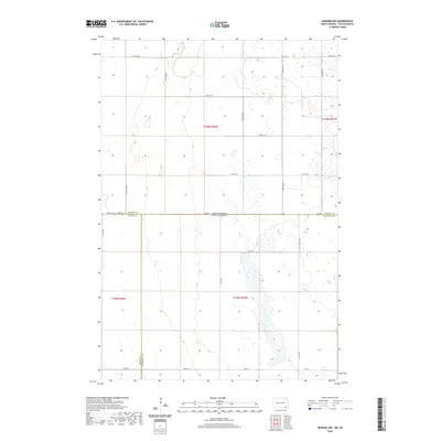
2020 Map of Newark NW
USGS Topo · Published 2020About this map
The North Dakota South Dakota state line defines the central axis of this prairie landscape, where the borders of Sargent Co, Brown Co, and Marshall Co converge. The terrain is characterized by an extensive network of wetlands and intermittent water bodies typical of the Glacial Lake Agassiz region, particularly within the sections of t128n r59w and t129n r58w. A rigid grid of section-line roads, including 411th Ave and 115th Ave SE, facilitates movement across this agricultural environment. The map captures the quiet intersection of three counties and two states, revealing how modern survey lines impose order on a landscape naturally dominated by scattered prairie potholes and seasonal drainage patterns near the northern plains border.
Find a feature on this map
26 named features on this map. Tap any name to fly to it.
Don’t see what you’re looking for? This feature index may not catch every label — zoom into the map to look around manually.
Map Details
Editions of this 2020 Newark NW Map
This is the sole edition of this map. No revisions or reprints were ever made.
Other maps of this area

1894 · Hecla
USGS Topo · 1:62,500

1894 · Oakes
USGS Topo · 1:62,500

1895 · Lamoure
USGS Topo · 1:125,000

1896 · Columbia
USGS Topo · 1:125,000

1918 · La Moure
USGS Topo · 1:125,000

1953 · Jamestown
USGS Topo · 1:250,000

1953 · Hecla SE
USGS Topo · 1:24,000

1953 · Newark SW
USGS Topo · 1:24,000

1953 · Newark
USGS Topo · 1:24,000

1953 · Milbank
USGS Topo · 1:250,000