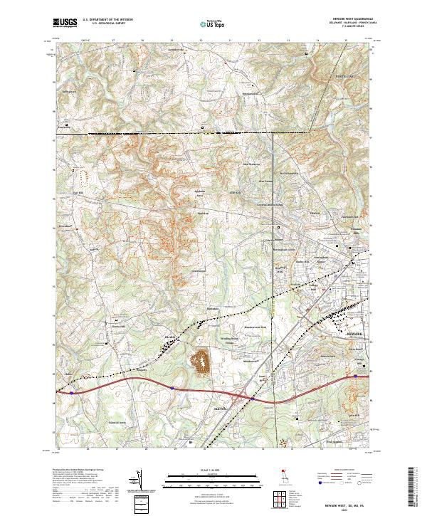
2023 Map of Newark West
USGS Topo · Published 2023About this map
Pennsylvania, Maryland, and Delaware boundaries converge in this tri-state region, where the intricate drainage of the Christina River and Big Elk Creek has shaped the settlement pattern for centuries. The map reveals a dense network of historical religious sites, including the Old Welsh Tract Baptist Church Cem and the London Tract Baptist Cem, highlighting the deep roots of early colonial congregations. To the east, the University of Delaware Main Campus signifies the academic growth of Newark, while surrounding hamlets like Elk Mills and Nonatum Mills point to the area's industrial legacy along its watercourses.
Find a feature on this map
127 named features on this map. Tap any name to fly to it.
Don’t see what you’re looking for? This feature index may not catch every label — zoom into the map to look around manually.
Map Details
Editions of this 2023 Newark West Map
This is the sole edition of this map. No revisions or reprints were ever made.
Other maps of this area

1898 · Elkton
USGS Topo · 1:62,500

1900 · Elkton
USGS Topo · 1:62,500

1901 · West Chester
USGS Topo · 1:62,500

1904 · West Chester
USGS Topo · 1:62,500

1904 · Coatesville
USGS Topo · 1:62,500

1904 · Wilmington
USGS Topo · 1:62,500

1906 · Coatesville
USGS Topo · 1:62,500

1906 · Wilmington
USGS Topo · 1:62,500

1917 · Elkton
USGS Topo · 1:62,500

1918 · Coatesville
USGS Topo · 1:62,500